Unlock Earth's
Intelligence
Transform satellite imagery into actionable insights. Monitor land, detect changes, and make data-driven decisions with AI-powered earth observation.
Trusted by 500+ teams

LON: 88.12
Our Partners
Collaborating with global leaders in Geospatial technology


Powerful Earth Observation Tools
Everything you need to analyze satellite data. From raw imagery to processed intelligence.
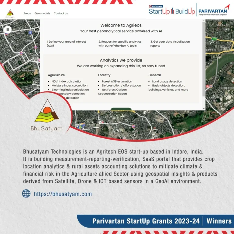
SatSight Dashboard
Interactive map-based platform for comprehensive land analysis. Search, evaluate, and generate reports effortlessly with our intuitive UI.
Vegetation Monitoring
Track NDVI changes, detect deforestation, and monitor crop health with historical comparison tools that go back up to 5 years.
Construction Detection
AI-powered building detection to identify new constructions, unauthorized structures, and track urban growth patterns automatically.
High-Resolution Imagery
Access the latest satellite imagery with multi-spectral analysis and temporal comparisons. Supports up to 30cm resolution.
Get Started in Minutes
1. Search Location
Enter any address or coordinates to find your area of interest instantly.
2. Draw & Analyze
Draw your field boundary and select the AI models you want to run.
3. Get Insights
Receive detailed reports, downloadable data, and actionable recommendations.
Meet Our Team

Dr. Naveen R Shahi
Founder & CEO

Sujoy Nath
Machine Learning Engineer

Rajat Dhakad
Full Stack Developer (JAVA)

Aryan Das
Data Scientist
Our Advisors

Dr. Swalpa Kumar Roy
AI Advisor

Dr. Sanjay Sharma
Agriculture Advisor
See Bhusatyam EOS in Action
Watch how our AI-powered platform transforms satellite data into actionable intelligence.
Official Membership & Affiliation

Ready to Transform Your
Earth Observation?
Join 500+ organizations leveraging the power of Bhusatyam EOS to make smarter decisions.