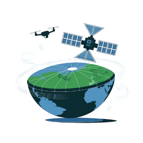
Earth Observation Solutions
Effortless data access, streamlined management, and scalable imagery processing
View Services Contact Us
AI4AG Imagery Ordering & Analysis System
Unlock high-resolution satellite imagery fast with AI4AG. Select your spectrum, set resolution, and choose from trusted datasets like Sentinel, Landsat, and Planet. Order in just a few clicks and empower your project with precision aerial insights.
Satelite ImageryDrone Spraying & Seeding Ordering System (DSSOS)
Boost your crop yield with our Drone Spraying & Seeding Ordering System. Schedule operations, select product details, and mark your field in just a few clicks for precise drone service.
Drone Service

Join Our Drone Partner Network
Join Our Drone Partner Network! Simply mark your service location and select the drone types you offer—whether it’s RGB imagery, LiDAR, thermal, or confined space operations.
Choose the services you provide, from imagery collection and spraying to detailed inspections, and share more about your drones and payloads. Become a key part of our growing network today.
Join NowSolutions
Smart Solutions from SAR Satellites
We deliver advanced products and services powered by cutting-edge data from the SAR satellite constellation, featuring L & C- band synthetic aperture radar technology. Our

Common Operating Picture (COP)
What is a Common Operating Picture (COP)?A Common Operating Picture (COP) is a GIS-based computing platform that delivers real-time data for situational awareness, coordination, and

Competitive Intelligence
Competitive Intelligence: An OverviewCompetitive Intelligence (CI) is the strategic practice of gathering, analyzing, and applying information about competitors, customers, and market dynamics to gain a

Situational Awareness
What is Situational Awareness?Situational Awareness (SA) refers to being fully aware of the environment around us. Formally, it involves perceiving key elements in one’s surroundings
Featured On


Catalog
Search for and order archive geospatial imagery from the world’s leading data providers.
Tasking
Looking to order new imagery for a specific date and AOI? Explore UP42’s satellite tasking options.
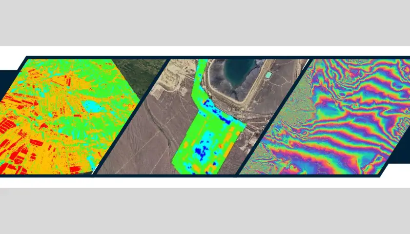
Synthetic aperture radar (SAR)
Discover high-resolution SAR data to capture images at any time of day or night, in any weather conditions.
Elevation
Access highly-accurate 3D representations of the Earth’s terrain, or surface features from both aerial and satellite imagery sources.